Paul Elgar, OEM Business Relations, NAVTOR believes it’s “time to end the ENC madness”.
Why, he asks, isn’t there a seamless, commercially viable way of utilizing the same charts in the offices of shipping companies as fleets use at sea? If we’re going to plan a sustainable, safe and profitable way forward for the industry surely, we all need to follow the same route?
Imagine you’re a shipowner, operator or fleet manager. Maybe you already are.
You have 30 vessels plying competitive routes on the seven seas and want to ensure the optimal safety, efficiency, profitability and operational success for each and every one of them. As a forward-thinking business you’ve invested in digital solutions to create a ‘joined-up’ organization, whereby you can share data, optimize performance and, wherever possible, enhance decision making.
Your ships, being SOLAS vessels, use official ENC on their ECDIS systems as mandated. So, you think, maybe your shore-side teams should utilize the same charts to ensure seamless understanding and enable better in-office planning for at sea operations.
That makes perfect sense, so it must be pretty simple to do, right? Unfortunately, you could not be more wrong.
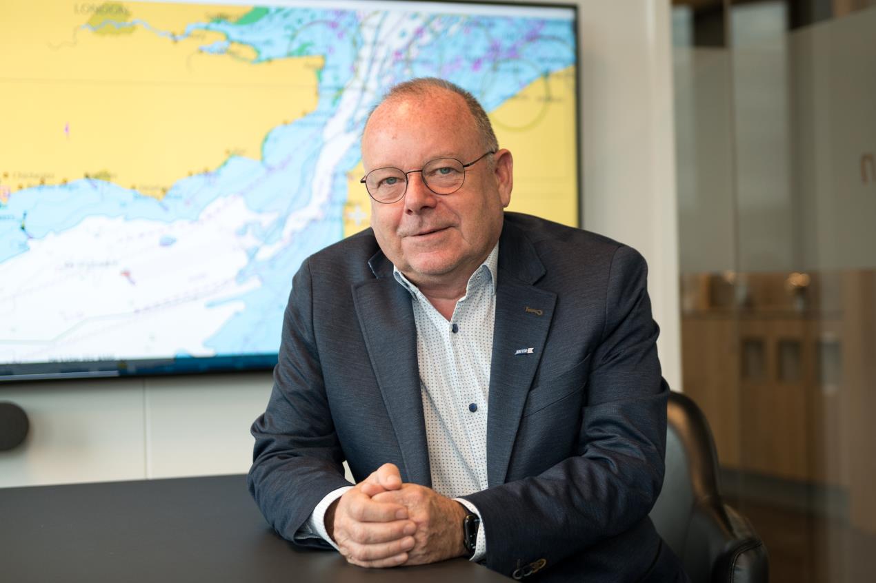 Paul Elgar, OEM Business Relations, NAVTOR
Out of step
After over 20 years of hard work, the maritime community succeeded in transitioning the world fleet from paper charts into the 21st century with ENCs.
The IMO ECDIS Mandate ran from 2012 to 2018 and heralded a new age of efficiency, safety and simplicity for crews worldwide.
But shoreside operations have been left woefully out of step with developments. And, largely speaking, it’s due to an approach to pricing that pushes the boundaries of sanity. To illustrate, consider what my company NAVTOR (the industry’s largest ENC distributor) has to quote a client ringing up to ask about land-based ENC access.
The same customer using ECDIS systems together with the NavStation software at sea might pay an average of say USD 5000 for worldwide Pay-As-You Sail (PAYS) ENC licenses for a single vessel. This solution allows them to use only the charts they need for sailing, with free access to all charts for planning purposes. It is simple, cost effective and seamless (with immediate access to the latest charts).
Now, we step ashore. Here, our valued customer asks us for the same portfolio of charts in the office of the shipowner/manager, with access for five separate users. Obviously, we can’t charge on a PAYS basis, as the office isn’t setting sail, so there has to be a standard fee. Which is… wait for it… USD 250,000 a year.
There’s no typo here, it’s 250k per annum. Why? Because the Hydrographic Offices that issue the ENCs do not differentiate pricing between vessels and offices, so it’s a one-price fits all (or not, in this case).
By this point, of course, the phone line is dead.
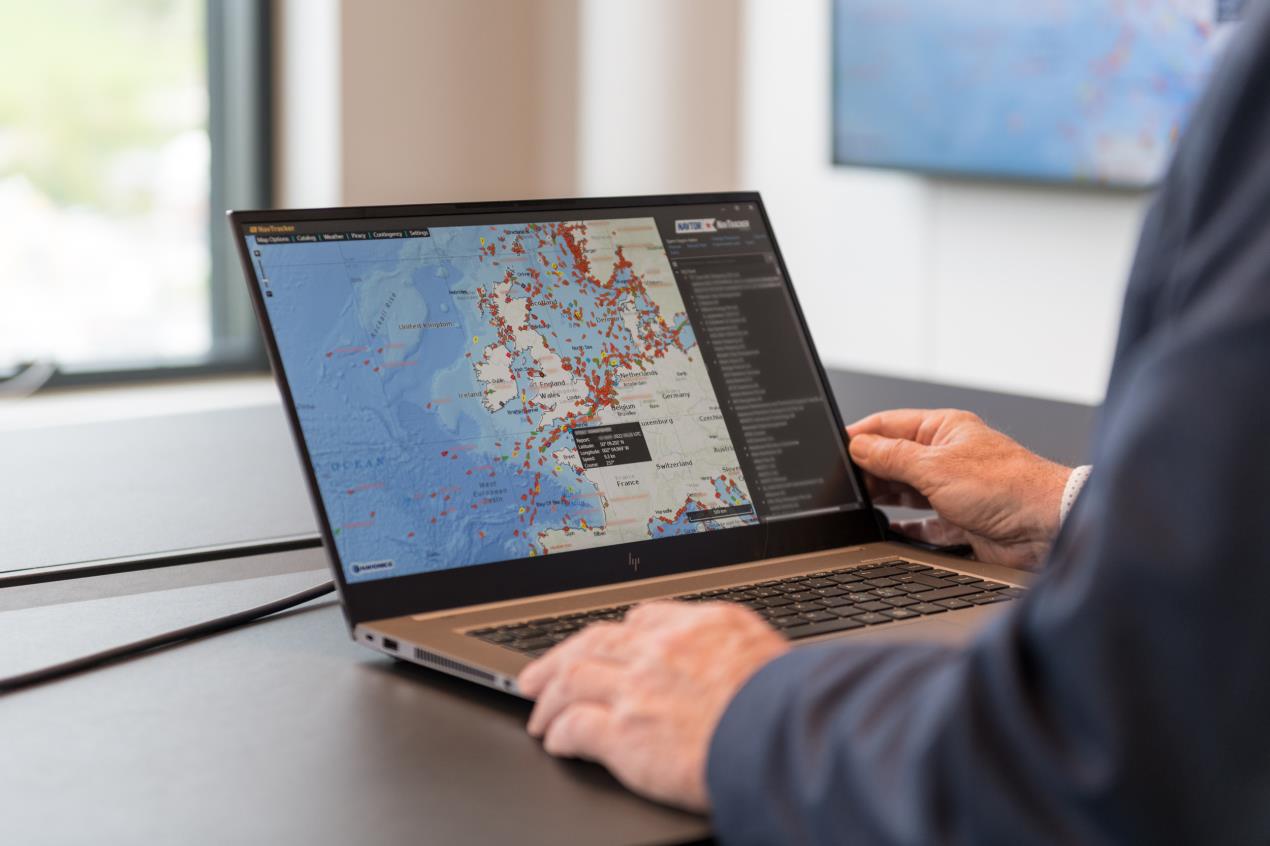 NAVTOR - smart shipping solutions for a connected industry
Don’t Google it
ENCs are essential for optimal on-shore planning purposes and fleet operations, but prohibitive pricing makes this commonsense approach insanely expensive. Software developers eager to access them to provide breakthrough solutions for an industry committed to a sustainable transition also need them - for applications such as vessel tracking, situational awareness, route planning, emergency response, and more – but face exactly the same problems. This is a major barrier to progress.
And on that point, what happens when it comes to autonomous shipping – often touted as the future of sustainable, hyper-efficient maritime operations? How do you operate these ships without official charts in the control rooms? Surely the IMO and IHO don’t want businesses to resort to unofficial databases?
Because, stepping back from the future to the present day, that’s what the majority are doing now. In fact, we’ve heard of many frustrated owners and operators resorting to Google Maps to monitor voyages, plan, and even coordinate emergency response activity.
Is this really the best way forward for an industry that, quite literally, keeps the global economy in motion?
Evolving demands
We have to realize that maritime is changing, and yesterday’s approaches are no longer sufficient for today’s, and tomorrow’s, operations. In a connected world, planning is increasingly conducted onshore and then transferred to vessels via secure communications, so onshore ENCs are essential.
NAVTOR urges the Hydrographic Office community, led by the IHO, to recognize that ENC is not just for SOLAS vessel navigation, and to work with the commercial maritime industry to allow ENC to be used in many different applications, in many different scenarios, and at acceptable prices. This can only be for the benefit of everyone.
Hydrographic Offices would see their revenues increase significantly, distributors like NAVTOR would be able to service the entire maritime community with ENC, and finally, it would increase safety and efficiency… for everyone.
Surely that’s the route we all want to chart for the future of this industry?
So, let’s make a differENCe, together.
