Terradepth, a leading provider of marine data solutions, will demonstrate new seafloor hydrographic and geophysical survey capabilities, along with Absolute Ocean, an easy-to-use cloud-native geospatial ocean data management solution that will soon be available as a commercial service, at the OCEANS 2022 Conference.
“Terradepth is creating innovative solutions to the challenges that have traditionally impeded access to, and collaboration on, vital ocean information,” said Joe Wolfel, CEO of Terradepth.
Terradepth has launched an aggressive marine data collection program of its own. The Austin firm has taken a leadership role in deploying Autonomous Underwater Vehicles configured with multiple marine sensors for seabed site verification, pre-construction surveys, pipeline/cable inspection, dredging/trenching support, habitat mapping, mineral exploration, hazard identification, and unexploded munitions detection.
To make these and other marine data sets more accessible, Terradepth developed the Absolute Ocean solution that provides a means to securely collaborate, manage and deliver ocean data to internal and external stakeholders. Absolute Ocean allows survey companies, marine organizations, and ocean data consumers to interact with all their data sets in one geospatially referenced place for enterprise-wide access and global collaboration.
“Absolute Ocean assists marine organizations in making better decisions through easy access to data sets and visualization functionality,” said Wolfel. “Collaboration between users on different sides of the globe becomes as simple as opening a web browser.”
 Terradepth uses Absolute Ocean as the collected data delivery platform for the geophysical and hydrographic survey solutions it provides. In addition, the firm has populated Absolute Ocean with thousands of publicly available data sets, including side-scan sonar, synthetic aperture sonar, magnetometer grids, multibeam bathymetry, LiDAR, and satellite imagery. The solution also serves as a storefront where customers can purchase commercial products, such as satellite-derived bathymetry from TCarta of Denver.
Clients can access these files along with their own proprietary data sets for visualization and geospatial analysis on Absolute Ocean. Access to pre-loaded data sets and advanced functionality – including machine learning-based object detection – will be available through a graduated subscription pricing structure. Subscribing organizations can set permissions to allow access for all or some files across their enterprise and to partners in any location.
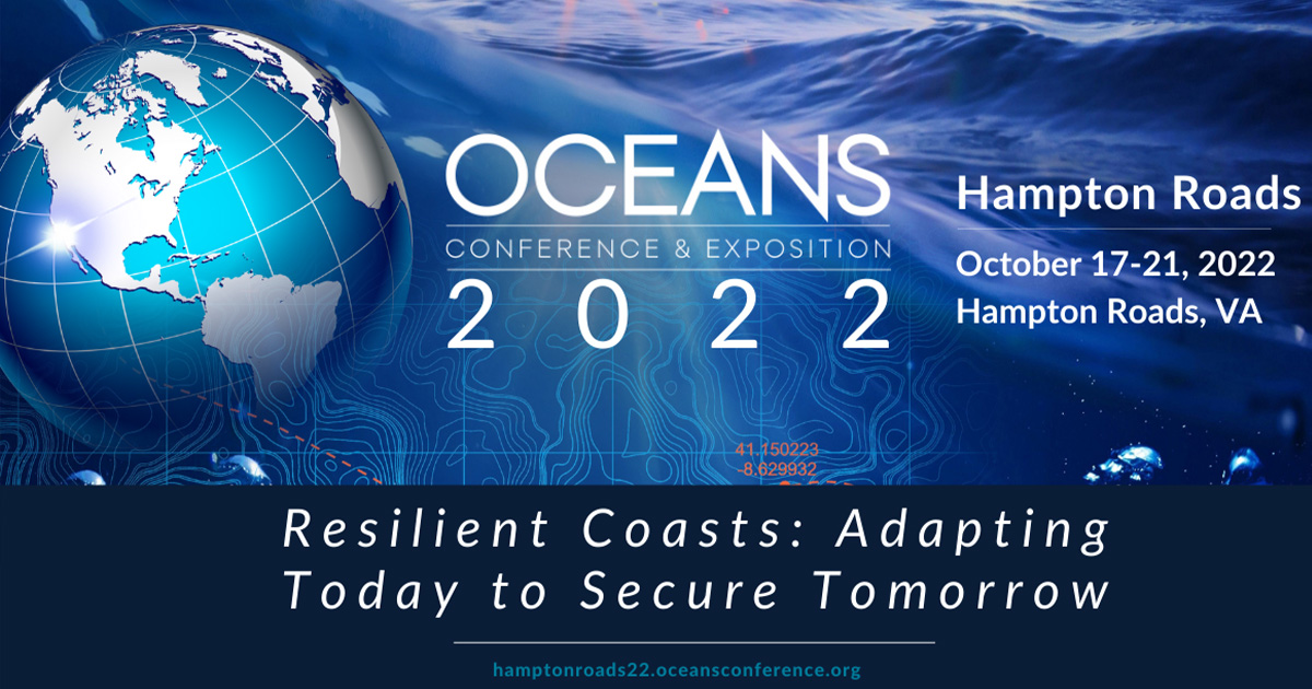
Terradepth will demonstrate its complete offering of marine survey solutions and Absolute Ocean in booth 209 at the OCEANS 2022 Conference & Exhibition being held October 17-20, 2022, in Hampton Roads, Virginia, USA.
For more information on Terradepth solutions, visit www.terradepth.com.